
加兴乡 topographic map
Interactive map
Click on the map to display elevation.
About this map
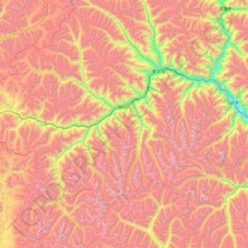
Name: 加兴乡 topographic map, elevation, terrain.
Location: 加兴乡, 工布江达县, 林芝市, 西藏自治区, 中国 (29.54885 92.16474 30.20444 92.97452)
Average elevation: 16,322 ft
Minimum elevation: 11,335 ft
Maximum elevation: 20,312 ft
Other topographic maps
Click on a map to view its topography, its elevation and its terrain.