
金达镇 topographic map
Interactive map
Click on the map to display elevation.
About this map
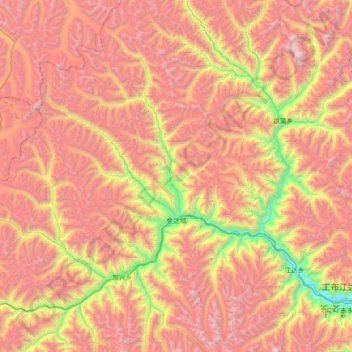
Name: 金达镇 topographic map, elevation, terrain.
Location: 金达镇, 工布江达县, 林芝市, 西藏自治区, 中国 (29.79135 92.61596 30.41816 93.09897)
Average elevation: 16,060 ft
Minimum elevation: 11,201 ft
Maximum elevation: 20,312 ft
Other topographic maps
Click on a map to view its topography, its elevation and its terrain.