
巴河镇 topographic map
Interactive map
Click on the map to display elevation.
About this map
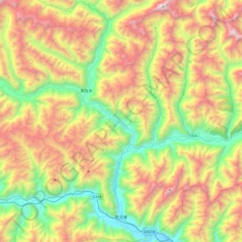
Name: 巴河镇 topographic map, elevation, terrain.
Location: 巴河镇, 工布江达县, 林芝市, 西藏自治区, 中国 (29.82177 93.61158 30.20714 93.91840)
Average elevation: 14,462 ft
Minimum elevation: 10,446 ft
Maximum elevation: 20,226 ft
Other topographic maps
Click on a map to view its topography, its elevation and its terrain.