
朱拉乡 topographic map
Interactive map
Click on the map to display elevation.
About this map
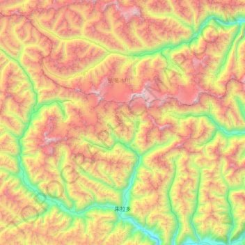
Name: 朱拉乡 topographic map, elevation, terrain.
Location: 朱拉乡, 工布江达县, 林芝市, 西藏自治区, 中国 (29.98539 93.16305 30.50462 93.74096)
Average elevation: 15,823 ft
Minimum elevation: 10,942 ft
Maximum elevation: 22,257 ft
Other topographic maps
Click on a map to view its topography, its elevation and its terrain.