
Hjelmeland topographic map
Interactive map
Click on the map to display elevation.
About this map
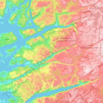
Name: Hjelmeland topographic map, elevation, terrain.
Location: Hjelmeland, Rogaland, Norwegen (59.03673 5.95215 59.37525 6.86514)
Average elevation: 1,867 ft
Minimum elevation: -7 ft
Maximum elevation: 4,400 ft
Other topographic maps
Click on a map to view its topography, its elevation and its terrain.