
Fister topographic map
Interactive map
Click on the map to display elevation.
About this map
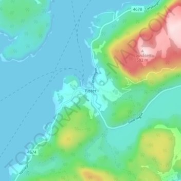
Name: Fister topographic map, elevation, terrain.
Location: Fister, Hjelmeland, Rogaland, 4139, Norwegen (59.15655 6.04775 59.19655 6.08775)
Average elevation: 335 ft
Minimum elevation: 0 ft
Maximum elevation: 1,588 ft
Other topographic maps
Click on a map to view its topography, its elevation and its terrain.