
Aukland topographic map
Interactive map
Click on the map to display elevation.
About this map
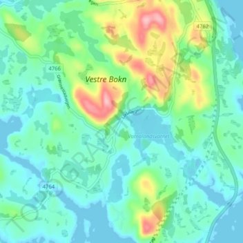
Name: Aukland topographic map, elevation, terrain.
Location: Aukland, Bokn, Rogaland, 5561, Norwegen (59.17594 5.40758 59.21594 5.44758)
Average elevation: 112 ft
Minimum elevation: -7 ft
Maximum elevation: 449 ft
Other topographic maps
Click on a map to view its topography, its elevation and its terrain.