
后厂 topographic map
Interactive map
Click on the map to display elevation.
About this map
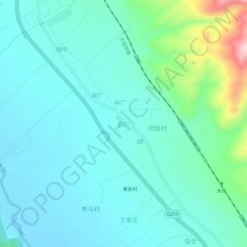
Name: 后厂 topographic map, elevation, terrain.
Location: 后厂, 巍山彝族回族自治县, 大理白族自治州, 云南省, 中国 (25.34950 100.22741 25.38950 100.26741)
Average elevation: 5,846 ft
Minimum elevation: 5,636 ft
Maximum elevation: 6,785 ft
Other topographic maps
Click on a map to view its topography, its elevation and its terrain.