
永建镇 topographic map
Interactive map
Click on the map to display elevation.
About this map
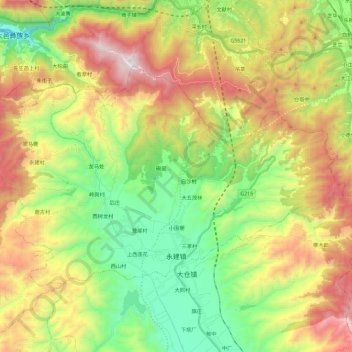
Name: 永建镇 topographic map, elevation, terrain.
Location: 永建镇, 巍山彝族回族自治县, 大理白族自治州, 云南省, 中国 (25.40972 100.08814 25.53966 100.31904)
Average elevation: 7,077 ft
Minimum elevation: 5,187 ft
Maximum elevation: 9,813 ft
Other topographic maps
Click on a map to view its topography, its elevation and its terrain.