
大仓镇 topographic map
Interactive map
Click on the map to display elevation.
About this map
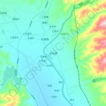
Name: 大仓镇 topographic map, elevation, terrain.
Location: 大仓镇, 巍山彝族回族自治县, 大理白族自治州, 云南省, 中国 (25.37688 100.18046 25.45688 100.26046)
Average elevation: 6,010 ft
Minimum elevation: 5,666 ft
Maximum elevation: 7,415 ft
Other topographic maps
Click on a map to view its topography, its elevation and its terrain.