
稔山镇 topographic map
Interactive map
Click on the map to display elevation.
About this map
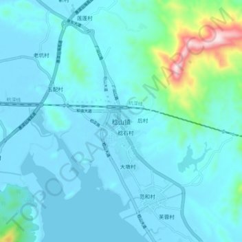
Name: 稔山镇 topographic map, elevation, terrain.
Location: 稔山镇, 惠州市, 广东省, 中国 (22.80251 114.76356 22.88251 114.84356)
Average elevation: 226 ft
Minimum elevation: -10 ft
Maximum elevation: 1,982 ft
Other topographic maps
Click on a map to view its topography, its elevation and its terrain.