
永汉镇 topographic map
Interactive map
Click on the map to display elevation.
About this map
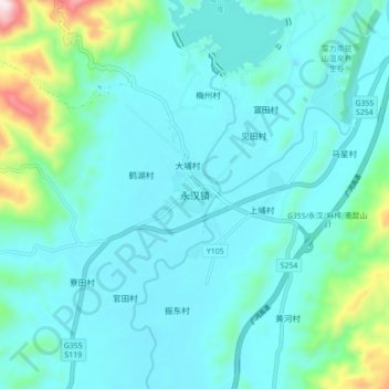
Name: 永汉镇 topographic map, elevation, terrain.
Location: 永汉镇, 惠州市, 广东省, 中国 (23.53003 113.92821 23.61003 114.00821)
Average elevation: 308 ft
Minimum elevation: 7 ft
Maximum elevation: 2,014 ft
Other topographic maps
Click on a map to view its topography, its elevation and its terrain.