
永湖镇 topographic map
Interactive map
Click on the map to display elevation.
About this map
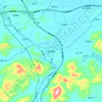
Name: 永湖镇 topographic map, elevation, terrain.
Location: 永湖镇, 惠州市, 广东省, 516267, 中国 (22.90433 114.45537 22.98433 114.53537)
Average elevation: 236 ft
Minimum elevation: 0 ft
Maximum elevation: 1,401 ft
Other topographic maps
Click on a map to view its topography, its elevation and its terrain.