
飞云顶 topographic map
Interactive map
Click on the map to display elevation.
About this map
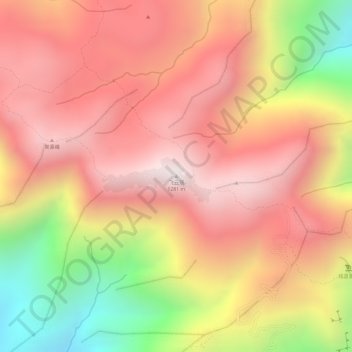
Name: 飞云顶 topographic map, elevation, terrain.
Location: 飞云顶, 惠州市, 广东省, 中国 (23.28297 114.01644 23.28307 114.01654)
Average elevation: 3,127 ft
Minimum elevation: 1,322 ft
Maximum elevation: 4,144 ft
Other topographic maps
Click on a map to view its topography, its elevation and its terrain.