
墨园村 topographic map
Interactive map
Click on the map to display elevation.
About this map
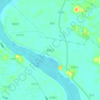
Name: 墨园村 topographic map, elevation, terrain.
Location: 墨园村, 惠州市, 广东省, 516169, 中国 (23.20351 114.55702 23.24351 114.59702)
Average elevation: 62 ft
Minimum elevation: 33 ft
Maximum elevation: 184 ft
Other topographic maps
Click on a map to view its topography, its elevation and its terrain.