
聚源峰 topographic map
Interactive map
Click on the map to display elevation.
About this map
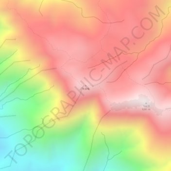
Name: 聚源峰 topographic map, elevation, terrain.
Location: 聚源峰, 惠州市, 广东省, 中国 (23.28574 114.00606 23.28584 114.00616)
Average elevation: 3,028 ft
Minimum elevation: 1,217 ft
Maximum elevation: 4,144 ft
Other topographic maps
Click on a map to view its topography, its elevation and its terrain.