
开山 topographic map
Interactive map
Click on the map to display elevation.
About this map
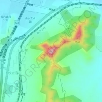
Name: 开山 topographic map, elevation, terrain.
Location: 开山, 济南市, 山东省, 250358, 中国 (36.55443 116.86026 36.55453 116.86036)
Average elevation: 348 ft
Minimum elevation: 174 ft
Maximum elevation: 922 ft
Other topographic maps
Click on a map to view its topography, its elevation and its terrain.