
云台山 topographic map
Interactive map
Click on the map to display elevation.
About this map
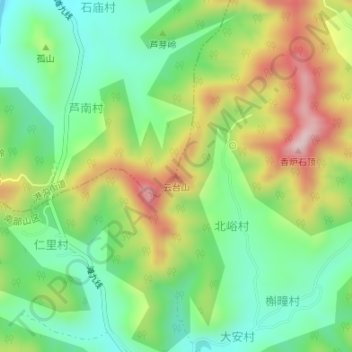
Name: 云台山 topographic map, elevation, terrain.
Location: 云台山, 济南市, 山东省, 中国 (36.55346 117.19004 36.55356 117.19014)
Average elevation: 1,355 ft
Minimum elevation: 928 ft
Maximum elevation: 2,024 ft
Other topographic maps
Click on a map to view its topography, its elevation and its terrain.