
玉皇山 topographic map
Interactive map
Click on the map to display elevation.
About this map
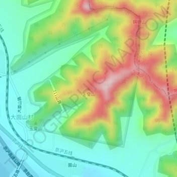
Name: 玉皇山 topographic map, elevation, terrain.
Location: 玉皇山, 济南市, 山东省, 中国 (36.50500 116.86302 36.50510 116.86312)
Average elevation: 548 ft
Minimum elevation: 210 ft
Maximum elevation: 1,135 ft
Other topographic maps
Click on a map to view its topography, its elevation and its terrain.