
八达岭 topographic map
Interactive map
Click on the map to display elevation.
About this map
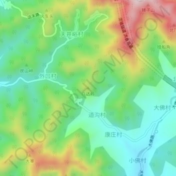
Name: 八达岭 topographic map, elevation, terrain.
Location: 八达岭, 济南市, 山东省, 中国 (36.52394 117.09205 36.52404 117.09215)
Average elevation: 1,260 ft
Minimum elevation: 758 ft
Maximum elevation: 2,169 ft
Other topographic maps
Click on a map to view its topography, its elevation and its terrain.