
围子山 topographic map
Interactive map
Click on the map to display elevation.
About this map
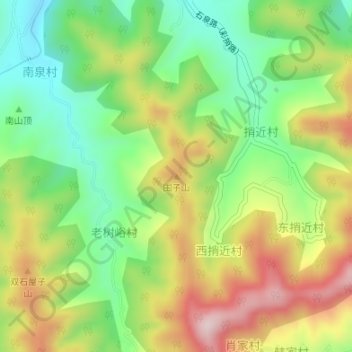
Name: 围子山 topographic map, elevation, terrain.
Location: 围子山, 济南市, 山东省, 中国 (36.58580 117.27767 36.58590 117.27777)
Average elevation: 1,247 ft
Minimum elevation: 741 ft
Maximum elevation: 1,909 ft
Other topographic maps
Click on a map to view its topography, its elevation and its terrain.