
德耀镇 topographic map
Interactive map
Click on the map to display elevation.
About this map
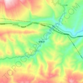
Name: 德耀镇 topographic map, elevation, terrain.
Location: 德耀镇, 古蔺县, 泸州市, 四川省, 中国 (28.00538 105.65832 28.08538 105.73832)
Average elevation: 3,363 ft
Minimum elevation: 1,890 ft
Maximum elevation: 5,354 ft
Other topographic maps
Click on a map to view its topography, its elevation and its terrain.