
茅溪镇 topographic map
Interactive map
Click on the map to display elevation.
About this map
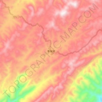
Name: 茅溪镇 topographic map, elevation, terrain.
Location: 茅溪镇, 古蔺县, 泸州市, 四川省, 中国 (27.80397 106.19674 27.88397 106.27674)
Average elevation: 3,701 ft
Minimum elevation: 1,591 ft
Maximum elevation: 4,751 ft
Other topographic maps
Click on a map to view its topography, its elevation and its terrain.