
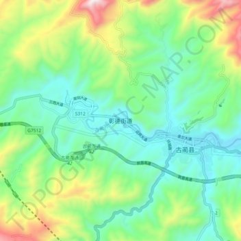
彰德 topographic map
Interactive map
Click on the map to display elevation.
About this map
Name: 彰德 topographic map, elevation, terrain.
Location: 彰德, 古蔺县, 泸州市, 四川省, 中国 (28.01166 105.74449 28.09166 105.82449)
Average elevation: 2,464 ft
Minimum elevation: 1,549 ft
Maximum elevation: 4,682 ft
Other topographic maps
Click on a map to view its topography, its elevation and its terrain.