
管窑镇 topographic map
Interactive map
Click on the map to display elevation.
About this map
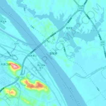
Name: 管窑镇 topographic map, elevation, terrain.
Location: 管窑镇, 黄冈市, 湖北省, 中国 (30.10790 115.24113 30.18790 115.32113)
Average elevation: 82 ft
Minimum elevation: 30 ft
Maximum elevation: 797 ft
Other topographic maps
Click on a map to view its topography, its elevation and its terrain.