
梅川镇 topographic map
Interactive map
Click on the map to display elevation.
About this map
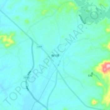
Name: 梅川镇 topographic map, elevation, terrain.
Location: 梅川镇, 黄冈市, 湖北省, 中国 (30.08947 115.55597 30.16947 115.63597)
Average elevation: 210 ft
Minimum elevation: 85 ft
Maximum elevation: 1,083 ft
Other topographic maps
Click on a map to view its topography, its elevation and its terrain.