
红安县 topographic map
Interactive map
Click on the map to display elevation.
About this map
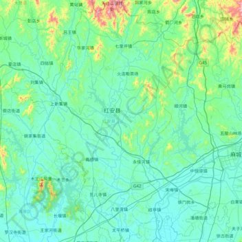
Name: 红安县 topographic map, elevation, terrain.
Location: 红安县, 黄冈市, 湖北省, 中国 (30.93028 114.39721 31.58798 114.82754)
Average elevation: 364 ft
Minimum elevation: 62 ft
Maximum elevation: 2,677 ft
Other topographic maps
Click on a map to view its topography, its elevation and its terrain.