
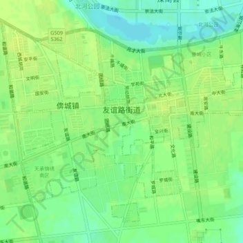
友谊路街道 topographic map
Interactive map
Click on the map to display elevation.
About this map
Name: 友谊路街道 topographic map, elevation, terrain.
Location: 友谊路街道, 滦南县, 唐山市, 河北省, 中国 (39.49019 118.64962 39.51624 118.69044)
Average elevation: 56 ft
Minimum elevation: 26 ft
Maximum elevation: 72 ft
Other topographic maps
Click on a map to view its topography, its elevation and its terrain.