
余家湾 topographic map
Interactive map
Click on the map to display elevation.
About this map
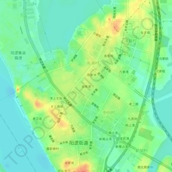
Name: 余家湾 topographic map, elevation, terrain.
Location: 余家湾, 新洲区, 武汉市, 湖北省, 中国 (30.64519 114.54589 30.68519 114.58589)
Average elevation: 92 ft
Minimum elevation: 39 ft
Maximum elevation: 174 ft
Other topographic maps
Click on a map to view its topography, its elevation and its terrain.