
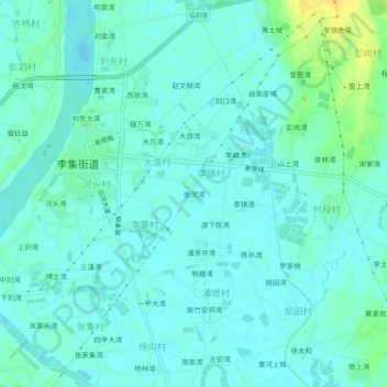
张河湾 topographic map
Interactive map
Click on the map to display elevation.
About this map
Name: 张河湾 topographic map, elevation, terrain.
Location: 张河湾, 新洲区, 武汉市, 湖北省, 中国 (30.85121 114.66168 30.89121 114.70168)
Average elevation: 89 ft
Minimum elevation: 69 ft
Maximum elevation: 154 ft
Other topographic maps
Click on a map to view its topography, its elevation and its terrain.