
二四岗湾 topographic map
Interactive map
Click on the map to display elevation.
About this map
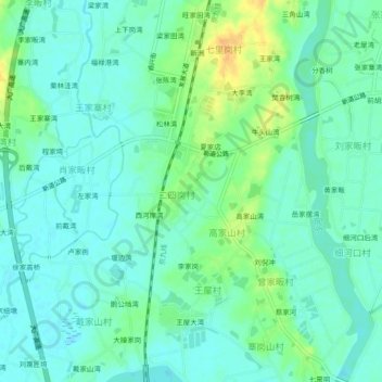
Name: 二四岗湾 topographic map, elevation, terrain.
Location: 二四岗湾, 新洲区, 武汉市, 湖北省, 中国 (30.84508 114.88364 30.88508 114.92364)
Average elevation: 112 ft
Minimum elevation: 79 ft
Maximum elevation: 180 ft
Other topographic maps
Click on a map to view its topography, its elevation and its terrain.