
通河县 topographic map
Interactive map
Click on the map to display elevation.
About this map
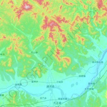
Name: 通河县 topographic map, elevation, terrain.
Location: 通河县, 哈尔滨市, 黑龙江省, 中国 (45.87357 128.14799 46.62428 129.42746)
Average elevation: 938 ft
Minimum elevation: 308 ft
Maximum elevation: 4,682 ft
Other topographic maps
Click on a map to view its topography, its elevation and its terrain.