
永发村 topographic map
Interactive map
Click on the map to display elevation.
About this map
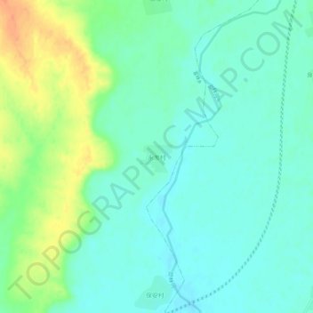
Name: 永发村 topographic map, elevation, terrain.
Location: 永发村, 哈尔滨市, 黑龙江省, 中国 (46.02317 128.69637 46.06317 128.73637)
Average elevation: 400 ft
Minimum elevation: 358 ft
Maximum elevation: 489 ft
Other topographic maps
Click on a map to view its topography, its elevation and its terrain.