
山河屯 topographic map
Interactive map
Click on the map to display elevation.
About this map
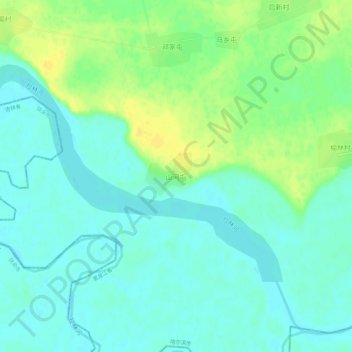
Name: 山河屯 topographic map, elevation, terrain.
Location: 山河屯, 哈尔滨市, 黑龙江省, 中国 (45.16406 125.98433 45.20406 126.02433)
Average elevation: 466 ft
Minimum elevation: 436 ft
Maximum elevation: 512 ft
Other topographic maps
Click on a map to view its topography, its elevation and its terrain.