
和兴路街道 topographic map
Interactive map
Click on the map to display elevation.
About this map
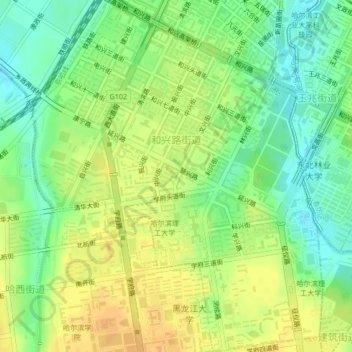
Name: 和兴路街道 topographic map, elevation, terrain.
Location: 和兴路街道, 南岗区, 哈尔滨市, 黑龙江省, 150000, 中国 (45.70340 126.59408 45.73274 126.62979)
Average elevation: 492 ft
Minimum elevation: 440 ft
Maximum elevation: 538 ft
Other topographic maps
Click on a map to view its topography, its elevation and its terrain.