
铁东街道 topographic map
Interactive map
Click on the map to display elevation.
About this map
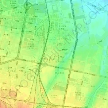
Name: 铁东街道 topographic map, elevation, terrain.
Location: 铁东街道, 香坊区, 哈尔滨市, 黑龙江省, 150000, 中国 (45.71186 126.70805 45.75239 126.73887)
Average elevation: 466 ft
Minimum elevation: 407 ft
Maximum elevation: 518 ft
Other topographic maps
Click on a map to view its topography, its elevation and its terrain.