
花园乡 topographic map
Interactive map
Click on the map to display elevation.
About this map
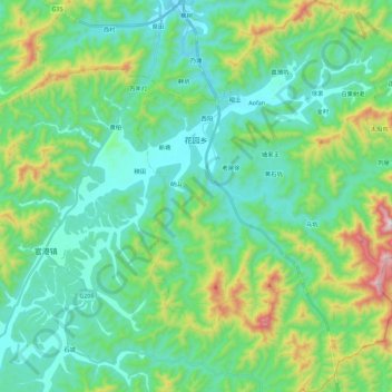
Name: 花园乡 topographic map, elevation, terrain.
Location: 花园乡, 东至县, 池州市, 安徽省, 247200, 中国 (29.83905 116.98122 30.03437 117.20695)
Average elevation: 696 ft
Minimum elevation: 66 ft
Maximum elevation: 2,776 ft
Other topographic maps
Click on a map to view its topography, its elevation and its terrain.