
大渡口镇 topographic map
Interactive map
Click on the map to display elevation.
About this map
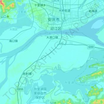
Name: 大渡口镇 topographic map, elevation, terrain.
Location: 大渡口镇, 东至县, 池州市, 安徽省, 247200, 中国 (30.41095 116.92816 30.49893 117.19498)
Average elevation: 59 ft
Minimum elevation: 0 ft
Maximum elevation: 1,273 ft
Other topographic maps
Click on a map to view its topography, its elevation and its terrain.