
昭潭镇 topographic map
Interactive map
Click on the map to display elevation.
About this map
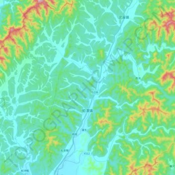
Name: 昭潭镇 topographic map, elevation, terrain.
Location: 昭潭镇, 东至县, 池州市, 安徽省, 247200, 中国 (29.61525 116.71723 29.80807 116.90891)
Average elevation: 374 ft
Minimum elevation: 79 ft
Maximum elevation: 1,663 ft
Other topographic maps
Click on a map to view its topography, its elevation and its terrain.