
葛公镇 topographic map
Interactive map
Click on the map to display elevation.
About this map
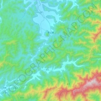
Name: 葛公镇 topographic map, elevation, terrain.
Location: 葛公镇, 东至县, 池州市, 安徽省, 247200, 中国 (29.96446 117.08798 30.14554 117.28952)
Average elevation: 1,033 ft
Minimum elevation: 105 ft
Maximum elevation: 4,429 ft
Other topographic maps
Click on a map to view its topography, its elevation and its terrain.