
东流镇 topographic map
Interactive map
Click on the map to display elevation.
About this map
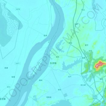
Name: 东流镇 topographic map, elevation, terrain.
Location: 东流镇, 东至县, 池州市, 安徽省, 247200, 中国 (30.13527 116.86582 30.32254 117.02593)
Average elevation: 62 ft
Minimum elevation: 7 ft
Maximum elevation: 1,152 ft
Other topographic maps
Click on a map to view its topography, its elevation and its terrain.