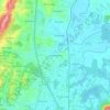
Cheatham County topographic map
Click on the map to display elevation.
About this map
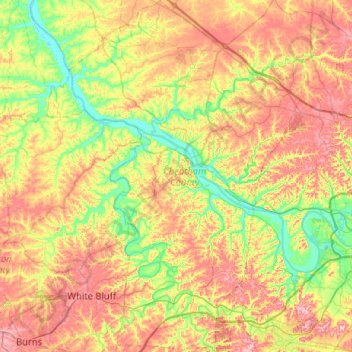
Name: Cheatham County topographic map, elevation, terrain.
Location: Cheatham County, Middle Tennessee, Tennessee, United States (36.04131 -87.28650 36.45572 -86.90623)
Average elevation: 620 ft
Minimum elevation: 371 ft
Maximum elevation: 938 ft
Tennessee trails, hiking, mountain biking, running and outdoor activities
Other topographic maps
Click on a map to view its topography, its elevation and its terrain.
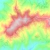

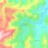
Roan Mountain State Park
United States > Tennessee > Carter County > Roan Mountain
Roan Mountain State Park hosts a variety of outdoor activities including hiking, mountain biking, camping, cross-country skiing (during snowy, winter months), fishing, and swimming. A heated swimming pool is open from Memorial Day to mid-August. At an elevation of 2,972 feet (906 m), the outdoor swimming pool…
Average elevation: 3,241 ft

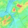
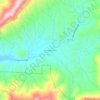





Stone Door Big Creek Gulf Overlook
United States > Tennessee > Grundy County
Average elevation: 1,604 ft


Cordova
United States > Tennessee > Shelby County > Memphis
Cordova is a community in Shelby County, Tennessee, United States. Cordova lies east of Memphis, north of Germantown, south of Bartlett, and northwest of Collierville at an elevation of 361 feet (110 meters).
Average elevation: 325 ft

Henderson Springs
United States > Tennessee > Sevier County > Pigeon Forge
Average elevation: 1,079 ft

Eastdale
United States > Tennessee > Hamilton County > Chattanooga > Ridgeside
Average elevation: 778 ft


Ridgedale
United States > Tennessee > Hamilton County > Chattanooga > Ridgeside
Average elevation: 768 ft