
九江镇 topographic map
Interactive map
Click on the map to display elevation.
About this map
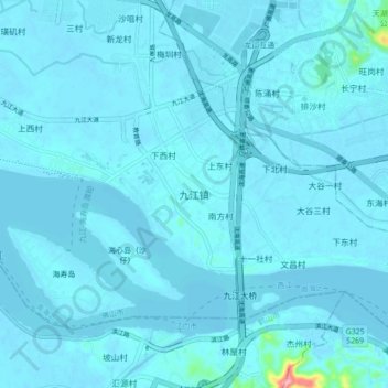
Name: 九江镇 topographic map, elevation, terrain.
Location: 九江镇, 佛山市, 广东省, 520203, 中国 (22.79046 112.97034 22.87046 113.05034)
Average elevation: 23 ft
Minimum elevation: -7 ft
Maximum elevation: 541 ft
Other topographic maps
Click on a map to view its topography, its elevation and its terrain.