
里水镇 topographic map
Interactive map
Click on the map to display elevation.
About this map
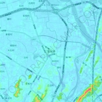
Name: 里水镇 topographic map, elevation, terrain.
Location: 里水镇, 佛山市, 广东省, 528244, 中国 (23.15995 113.11820 23.23995 113.19820)
Average elevation: 20 ft
Minimum elevation: -30 ft
Maximum elevation: 335 ft
Other topographic maps
Click on a map to view its topography, its elevation and its terrain.