
丹灶镇 topographic map
Interactive map
Click on the map to display elevation.
About this map
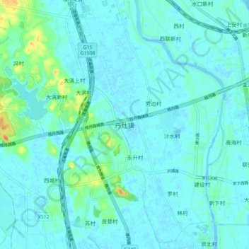
Name: 丹灶镇 topographic map, elevation, terrain.
Location: 丹灶镇, 佛山市, 广东省, 中国 (23.01380 112.87427 23.09380 112.95427)
Average elevation: 20 ft
Minimum elevation: -13 ft
Maximum elevation: 135 ft
Other topographic maps
Click on a map to view its topography, its elevation and its terrain.