
西樵镇 topographic map
Interactive map
Click on the map to display elevation.
About this map
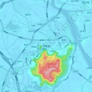
Name: 西樵镇 topographic map, elevation, terrain.
Location: 西樵镇, 佛山市, 广东省, 中国 (22.90664 112.92811 22.98664 113.00811)
Average elevation: 75 ft
Minimum elevation: -13 ft
Maximum elevation: 1,066 ft
Other topographic maps
Click on a map to view its topography, its elevation and its terrain.