
高明区 topographic map
Interactive map
Click on the map to display elevation.
About this map
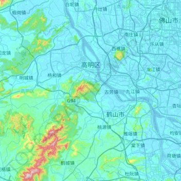
Name: 高明区 topographic map, elevation, terrain.
Location: 高明区, 佛山市, 广东省, 528500, 中国 (22.64522 112.38549 23.01785 112.91729)
Average elevation: 167 ft
Minimum elevation: -20 ft
Maximum elevation: 2,579 ft
Other topographic maps
Click on a map to view its topography, its elevation and its terrain.