
鹅村 topographic map
Interactive map
Click on the map to display elevation.
About this map
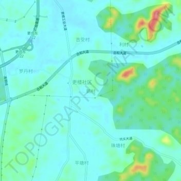
Name: 鹅村 topographic map, elevation, terrain.
Location: 鹅村, 佛山市, 广东省, 中国 (22.75861 112.56245 22.79861 112.60245)
Average elevation: 115 ft
Minimum elevation: 56 ft
Maximum elevation: 361 ft
Other topographic maps
Click on a map to view its topography, its elevation and its terrain.