
走马镇 topographic map
Interactive map
Click on the map to display elevation.
About this map
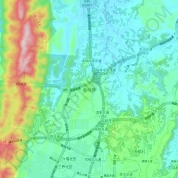
Name: 走马镇 topographic map, elevation, terrain.
Location: 走马镇, 九龙坡区, 重庆市, 中国 (29.42240 106.25300 29.50240 106.33300)
Average elevation: 1,286 ft
Minimum elevation: 948 ft
Maximum elevation: 2,326 ft
Other topographic maps
Click on a map to view its topography, its elevation and its terrain.