
陶家镇 topographic map
Interactive map
Click on the map to display elevation.
About this map
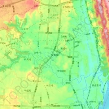
Name: 陶家镇 topographic map, elevation, terrain.
Location: 陶家镇, 九龙坡区, 重庆市主城都市区, 重庆市, 中国 (29.32358 106.30286 29.40358 106.38286)
Average elevation: 922 ft
Minimum elevation: 522 ft
Maximum elevation: 1,614 ft
Other topographic maps
Click on a map to view its topography, its elevation and its terrain.